
Menu
- Our Shop
- Buy Online
- Shopping Basket
×
Showing all 22 results
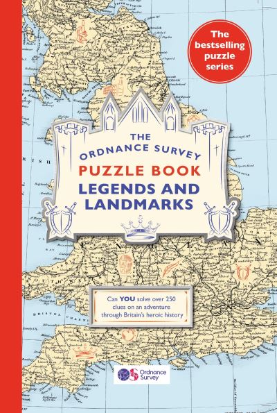
Come on a puzzle adventure and meet iconic figures from British history. This series returns with over 300 new puzzles to test the whole family, including 40 maps from the Ordnance Survey’s i...

This is a guide to helping Dad discover adrenaline-inducing, mind-expanding or stomach-pleasing mini or big adventures around the British Isles – and families of all ages can join in the fun ...

Beautifully illustrated stories of lighthouses and their guardians which transport the reader to the some of the most remote places on earth.
...
Contains 160 pages of road maps covering Britain at 3 miles to 1 inch, with the Western Isles, Orkney and Shetland at smaller scales. The maps clearly mark service areas, roundabouts and multi-leve...

AA Road Map Spain & Portugal
...AA Road Map Italy
...AA Road Map Western Europe
...AA Road Map France, Belgium & the Netherlands
...
Discover the devotional practice of wave riding through an atlas of fabled and iconic surf locations from around the world.
...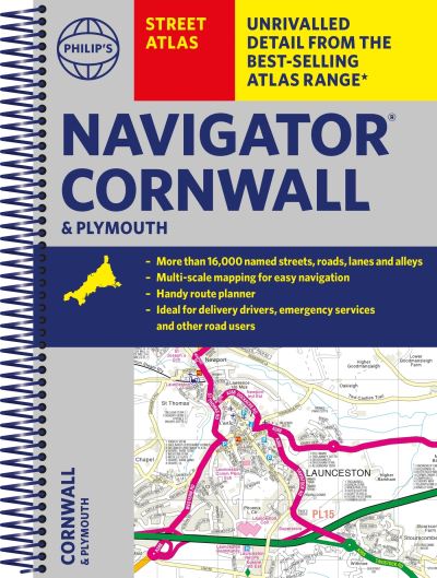
The only street atlas of its kind, this fully updated mapping of Cornwall and Plymouth gives comprehensive and detailed coverage of the county and unitary authorities – perfect for finding th...
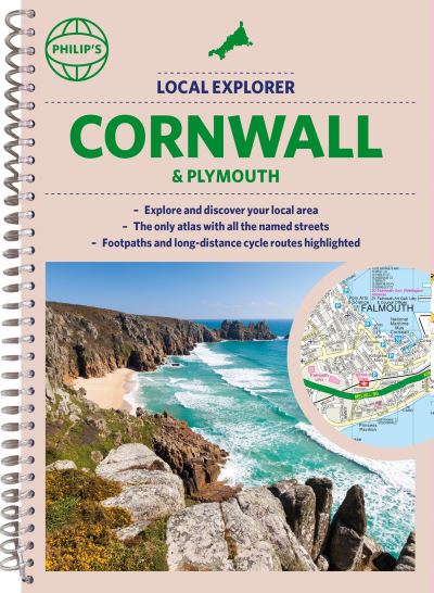
Who hasn’t explored and enjoyed their surrounding area recently and come to appreciate what is on our respective doorsteps? Philip’s have created this new series for walkers, cyclists ...

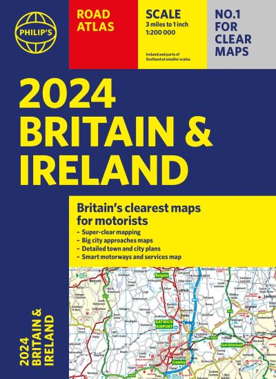
‘Philip’s Road Atlas Britain and Ireland’ contains road maps covering Britain at 3 miles to 1 inch, with the Western Isles, Orkney and Shetland at smaller scales. The maps clearly...
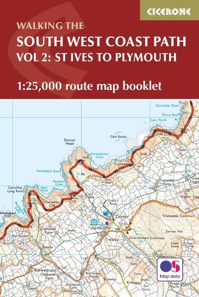
Map of part of the southern section of the 630 mile (1014km) South West Coast Path National Trail. Covers the trail from St Ives to Plymouth along the west Cornwall and Devon coastline. This conven...
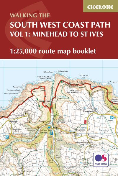
Map of the northern section of the 630 mile (1014km) South West Coast Path National Trail. Covers the trail from Minehead to St Ives along the north Devon and Cornish coastline. This convenient and...

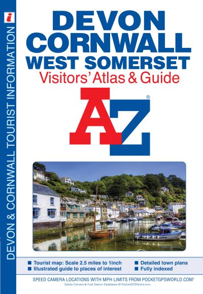
This full colour atlas of Devon, Cornwall and West Somerset combines 32 pages of road mapping with an illustrated town plan section to provide an informative atlas and guide.
...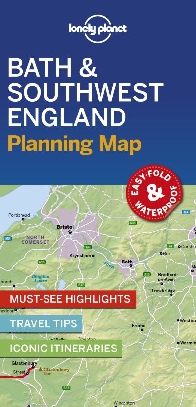
Durable and waterproof, with a handy slipcase and an easy-fold format, Lonely Planet’s Bath & Southwest England Planning Map helps you get around with ease. Contains top attractions, iti...
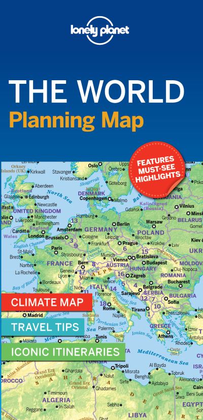
Durable and waterproof, with a handy slipcase and an easy-fold format, Lonely Planet World Planning Map is your conveniently-sized passport to traveling with ease. With this easy-to-use, full colou...
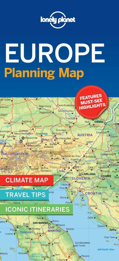
Durable and waterproof, with a handy slipcase and an easy-fold format, Lonely Planet Europe Planning Map is your conveniently-sized passport to traveling with ease. With this easy-to-use, full colo...
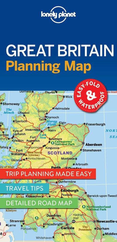
Durable and waterproof, with a handy slipcase and an easy-fold format, Lonely Planet Great Britain Planning Map is your conveniently-sized passport to traveling with ease.
...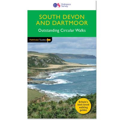
8 circular walks complementing Pathfinder Dartmoor, exploring the hills, river valleys, coastline and picturesque villages of the South Hams and south-east Devon – including Princetown, Buckf...

An atlas and gazetteer in one volume, ‘Atlas’ contains a full colour map of each country showing principal towns, communications and topography, plus world and continental overview maps...