01841 533804
Menu
Our Shop
Shop Online
What’s New
Signed Books
🔍
×
Home
/
Shop
/ Maps
Maps
Showing 1–30 of 67 results
Sorted by latest
Sort by popularity
Sort by latest
2027 Large Scale Road Atlas
£
11.99
Add to basket
Consise Atlas Britain 2027
£
13.99
Add to basket
AA Easy Read Atlas France 2027 2027
£
14.99
Add to basket
AA Traveller’s Atlas France 2027 2027
£
16.99
Add to basket
Road Map Britain 10
£
6.99
Add to basket
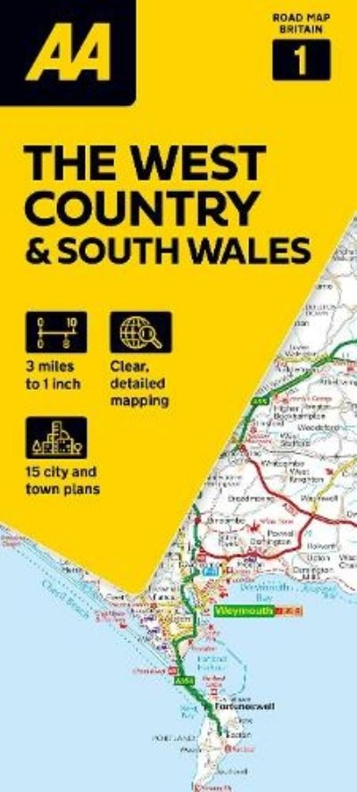
AA Road Map the West Country & South Wales
£
6.99
Add to basket
Aa Easy Read Atlas Britain 2027 2027
£
16.99
Add to basket
Aa Big Road Atlas Britain 2027 2027
£
14.99
Add to basket
Aa Easy Read Atlas Britain 2027 2027
£
16.99
Add to basket
AA Big Easy Read Atlas Britain 2027 2027
£
16.99
Add to basket
Aa Big Road Atlas Britain 2027 2027
£
12.99
Add to basket
AA Big Easy Read Atlas Britain 2027 2027
£
16.99
Add to basket
Great Britain a-Z Handy Road Atlas 2027 (A5 Spiral)
£
8.99
Add to basket
Map of the South West
£
13.99
Add to basket
AA Touring Atlas Scotland 2026 SP
£
10.99
Add to basket
Concise Atlas Britain 2026
£
13.99
Add to basket
AA Easy Read Britain 2026 SP
£
16.99
Add to basket
Philip’s compact Britain road atlas
£
10.99
Add to basket
Big easy read Britain 2026
£
16.99
Add to basket
South West Coast Path. 1 North Devon & Somerset
£
11.99
Add to basket
Mini Atlas of the World
£
12.00
Add to basket
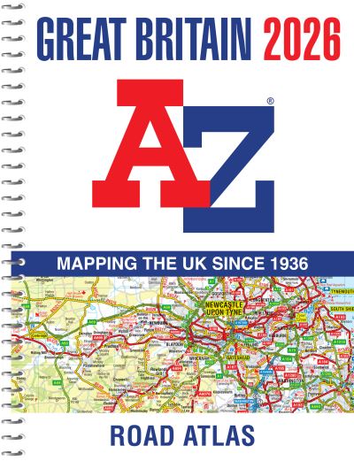
Great Britain A-Z road atlas 2026
£
14.99
Add to basket
Lonely Planet India Planning Map
£
5.99
Add to basket
Philip’s navigator Britain
£
19.99
Add to basket
Road Map Italy 4
£
6.99
Add to basket
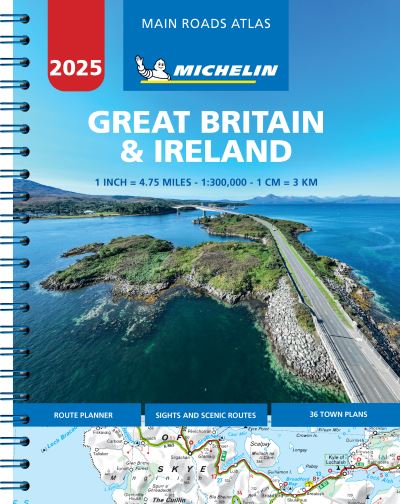
Great Britain & Ireland 2025 – Mains Roads Atlas (A4-Spiral)
£
11.99
Add to basket
South West Coast Path map booklet. Vol. 1 Minehead to St Ives
£
12.95
Add to basket
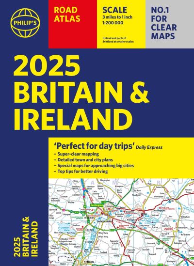
2025 Philip’s road atlas Britain and Ireland
£
14.99
Add to basket
Road Map West Country & Wales 1
£
5.99
Add to basket
Road Map France – Brittany
£
6.99
Add to basket
1
2
3
→