
Menu
- Our Shop
- Buy Online
- Shopping Basket
×
Showing 26–50 of 81 results

Britain’s clearest mapping from the experts at the AA, in a handy foldable map. The map combines clear design and an easy-to-read scale with more road detail to ensure that you never lose you...

Discover the devotional practice of wave riding through an atlas of fabled and iconic surf locations from around the world.
...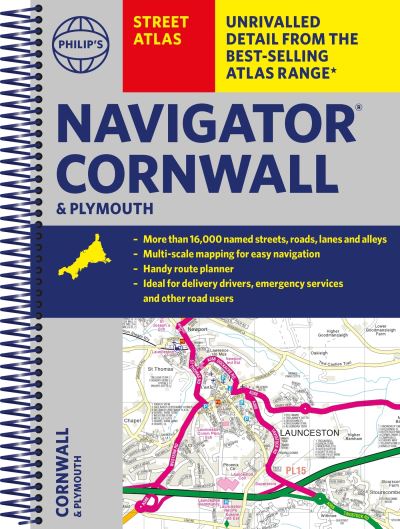
The only street atlas of its kind, this fully updated mapping of Cornwall and Plymouth gives comprehensive and detailed coverage of the county and unitary authorities – perfect for finding th...
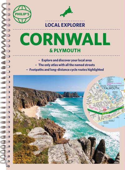
Who hasn’t explored and enjoyed their surrounding area recently and come to appreciate what is on our respective doorsteps? Philip’s have created this new series for walkers, cyclists ...

Updated annually, MICHELIN National Map Great Britain & Ireland will give you an overall picture of your journey thanks to its clear and accurate mapping scale 1/1,000,000. Our map will help...
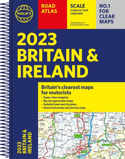
‘Philip’s Road Atlas Britain and Ireland’ contains road maps covering Britain at 3 miles to 1 inch, with the Western Isles, Orkney and Shetland at smaller scales. The maps clearly...

Cornwall Map & Travel Guide has been researched, compiled and published in Cornwall by Cornish locals. Illustrated with full-colour photographs, our renowned guide to Cornwall will make it eas...
Discover new places with handy road atlases from Collins.
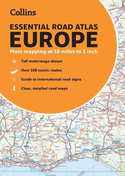
Up-to-date A4 paperback road atlas of Europe. Contains clear, large-scale, detailed road mapping, perfect for touring...
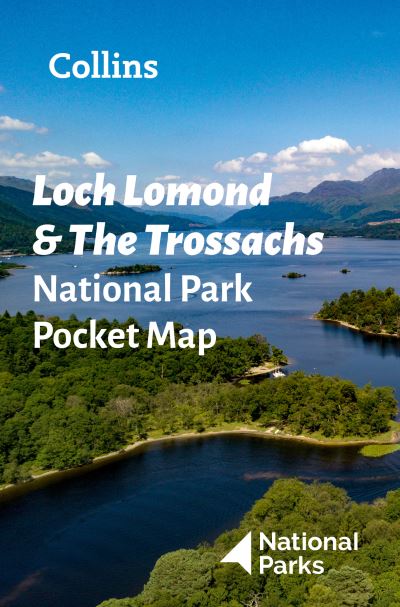
Handy little full colour map and guide of Loch Lomond National Park. Detailed mapping and visitor information to the National Park al...
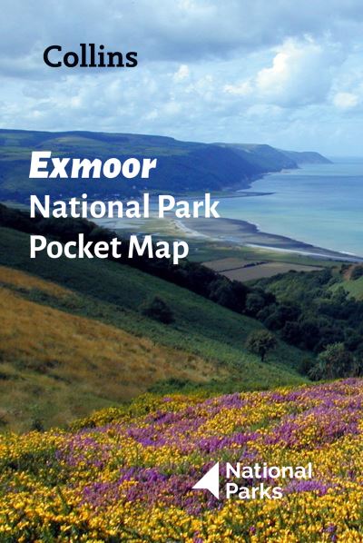
Handy little full colour map and guide of Exmoor National Park. Detailed mapping and visitor information to the National Park along w...
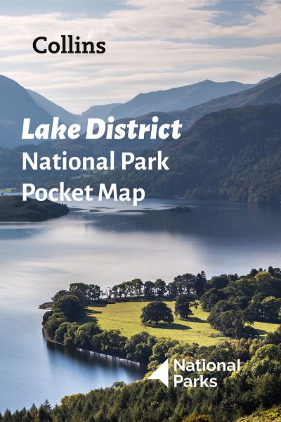
Handy little full colour map and guide of Lake District National Park. Detailed mapping and visitor information to the National Park ...
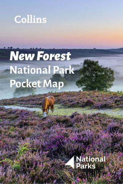
Handy little full colour map and guide of New Forest National Park. Detailed mapping and visitor information to the National Park alo...
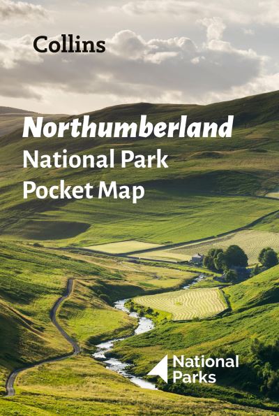
Handy little full colour map and guide of Northumberland National Park. Detailed mapping and visitor information to the National Park...
Updated annually, MICHELIN National Map Northwestern France 706 will give you an detailed picture of your journey from Amiens to Brest and La Rochelle to Clermont-Ferrand thanks to its clear and ac...

‘Reeds PBO Small Craft Almanac 2022’ contains a wealth of indispensable navigational data specially tailored for small craft sailors, presented in an easy to find, quick reference manne...
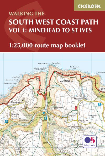
Map of the northern section of the 630 mile (1014km) South West Coast Path National Trail. Covers the trail from Minehead to St Ives along the north Devon and Cornish coastline. This convenient and...
Great British History Map
...Dartmoor
...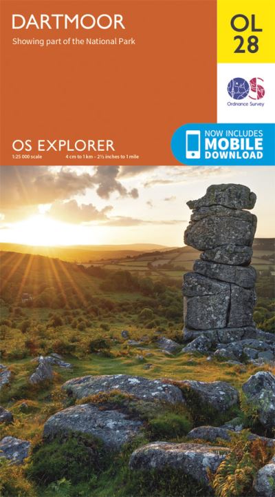
Dartmoor
...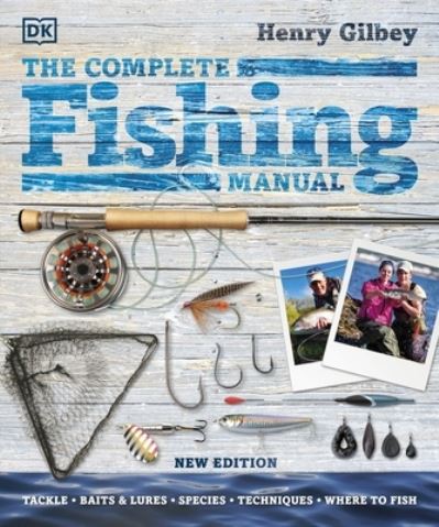
The definitive guide to fishing, covering everything from strategies and techniques to choosing bait, tackle and equipment. There is advice on anatomy, behaviour and habitat and detailed photograph...

From its very first contact with the West, India has been subject to great mystification. India’s long history, the survival of ancient rituals, and its variety of languages and cultures, con...

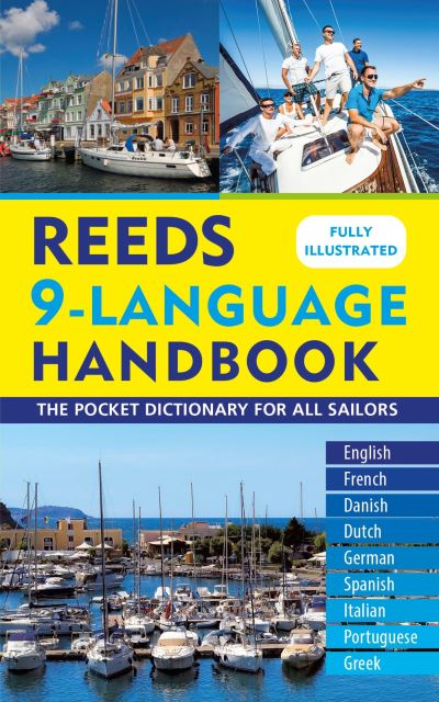
Being able to communicate with the local people is very important – whether it is to ask for a berth, a spare part or where the nearest chandlery or supermarket is. So, with this book, even i...
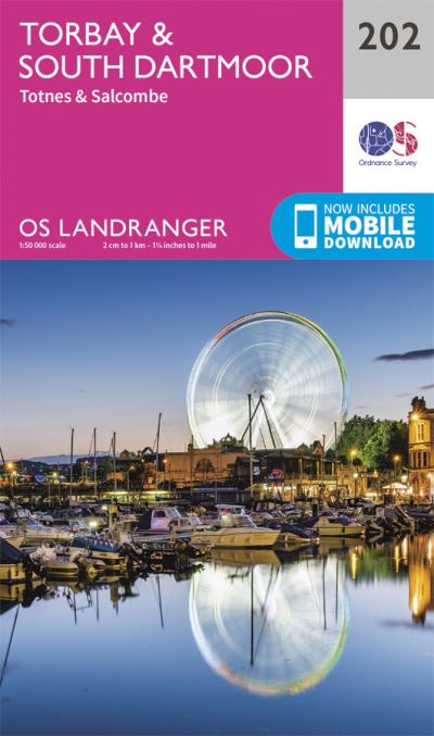
Torbay & South Dartmoor
...Great British Folklore & Superstition Map
...