
Menu
- Our Shop
- Pre-Orders
- Events
- Buy Online
- Shopping Basket
×
Showing 1–25 of 98 results

NEW for 2024 this atlas is perfect for caravan and motorhome owners when route planning and touring, this new A3 road atlas has a giant 2.5 miles to 1 inch scale placenames. Providing essential mo...
Fully revised and updated for 2024 and with up-to-date mapping from the experts at the AA, this A4 road atlas showcasing Britain’s clearest mapping at 3.2 miles to 1 inch. Large 3.2 miles to ...
Fully updated for 2025, this A4 format road atlas of France provides clear scale mapping at 4.7 miles to 1 inch. Features include detailed city maps of Paris, Lille and Lyon, 16 pages of overview ...
The top-selling A3 road atlas showcasing BritainÃs clearest mapping at 3 miles to 1 inch. Featuring large 3 miles to 1 inch scale including Ireland at 16 miles to 1 inch, 68 city, town and port ...
Top-selling A4 road atlas showcasing BritainÃs clearest mapping at 3.2 miles to 1 inch. Features include 112 city, town, port and airport plans, top 300 AA-Inspected caravan and camping sites, ...
BritainÃs clearest mapping from the experts at the AA, in a handy foldable map. Features include caravan and camping sites pinpointed on the mapping, city and town plans, easy-to-read place inde...
BritainÃs clearest mapping from the experts at the AA, in a handy foldable map. Features include caravan and camping sites pinpointed on the mapping, city and town plans, easy-to-read place inde...
BritainÃs clearest mapping from the experts at the AA, in a handy foldable map. Features include caravan and camping sites pinpointed on the mapping, city and town plans, easy-to-read place inde...
BritainÃs clearest mapping from the experts at the AA, in a handy foldable map. Features include caravan and camping sites pinpointed on the mapping, city and town plans, easy-to-read place inde...

A full-size folding map with over 600 National Trust and National Trust for Scotland places marked.
Packed with practical information and quirky trivia
Beautiful illustrations
...This A3 format atlas, fully revised and updated for 2025, provides giant scale mapping at 2.5 miles to 1 inch and type throughout making it very easy to use. Each page has been titled with its geog...

An excellent world atlas for everyday use at home or work, representing broad coverage at a great price. ...
New style mapping designed for the British motorist in France. Clear, detailed mapping of France in a handy foldable map, and covering some of the most popular destinations in France. Fully updat...
New style mapping designed for the British motorist in France. Clear, detailed mapping of France in a handy foldable map, and covering some of the most popular destinations in France. Fully updat...
New style mapping designed for the British motorist in France. Clear, detailed mapping of France in a handy foldable map, and covering some of the most popular destinations in France. Fully updat...
New style mapping designed for the British motorist in France. Clear, detailed mapping of France in a handy foldable map, and covering some of the most popular destinations in France. Fully updat...
Explore the whole county and area extending into Devon as far as Great Torrington, Tavistock and Plymouth. This detailed and up-to-date map contains more than 1,000 places of interest and an index ...
France Route Planning 2024 – Michelin National Map 726
...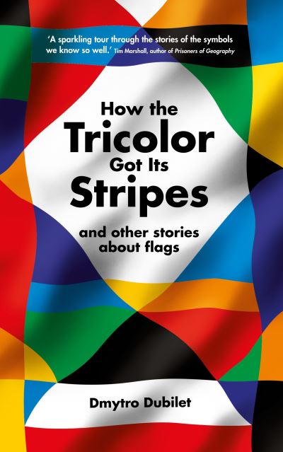
Starting with flags that we know, this captivating history explains the origins and hidden meanings of flags, taking a chatty but always entertaining path through this universal subject. Each chapt...
Guidebook to walking the whole of the England Coast Path from the River Exe to the River Severn, covering the coastlines of Devon, Cornwall, Somerset and Avon.
...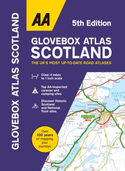
This handy A5 atlas covering the whole of Scotland with an easy to read 4 mile to 1 inch scale fits in the glovebox of your car, perfect for quick referencing on the move. Including information on ...