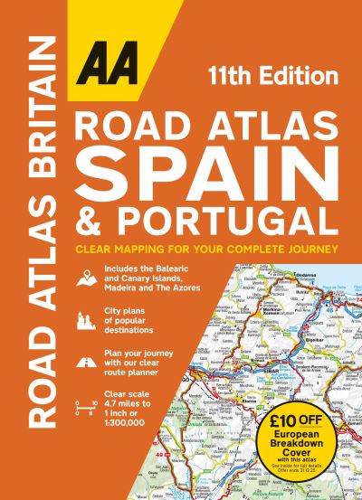
01841 533804  

Road atlas Spain & Portugal

£17.99

This flexi bound large scale atlas provides essential mapping for driving through Spain and Portugal, including petrol stations, service areas and toll motorways and 50 city street plans and 10 large scale approach maps. There is a helpful 4-page route planner with ferry routes and distances. Fully updated with mapping produced by leading cartographers MairDumont, the detailed mapping is perfect to help navigate you on your trip. Relief/hill shading is shown throughout the main mapping which features points of interest including hotels, spas, campsites, golf courses and world heritage sites. National parks and scenic routes are also highlighted. A comprehensive place name index accompanies each map section.

In stock

SKU: 9780749583446 Category:

Description

A new edition of this flexi bound large scale atlas, provides essential mapping for driving through Spain and Portugal, including petrol stations, service areas and toll motorways and 50 city street plans and 10 large scale approach maps. There is a helpful 4-page route planner with ferry routes and distances. Fully updated with mapping produced by leading cartographers MairDumont, the detailed mapping is perfect to help navigate you on your trip. Relief / hill shading is shown throughout the main mapping which features points of interest including hotels, spas, campsites, golf courses and world heritage sites. National parks and scenic routes are also highlighted. A comprehensive place name index accompanies each map section. Includes the Balearic and Canary Islands, Madeira and The Azores. Includes £10 off AA European Breakdown cover promotion.

Additional information

Weight 0.894 kg
Dimensions 29.7 × 20.3 × 1.7 cm
Author
Publisher

Imprint

Cover

Paperback

Pages

1 atlas (336 )

Language

English

Edition
Dewey

912.46 (edition:23)

Readership

/ Code: