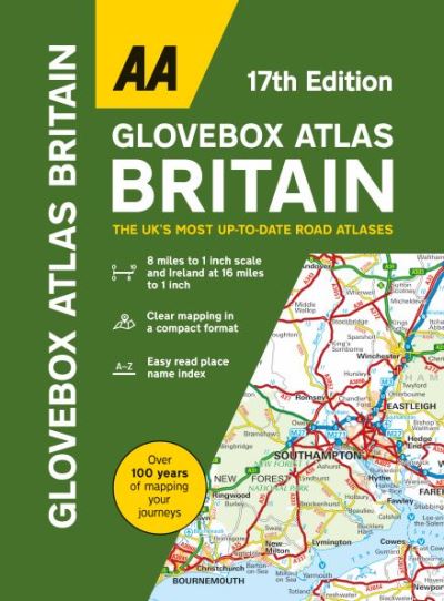
01841 533804  

Glovebox atlas Britain

£5.99

Britain’s clearest mapping in a handy glovebox size at 8 miles to 1 inch scale (Includes Ireland map at 16 miles to 1 inch). This handy atlas fits in the glovebox of your car, perfect for quick referencing on the move. The clear mapping includes a range of essential motoring and useful touring information so you can find your way and discover places to visit whilst on your travels. Including information such as road tolls, service areas, road distances, national parks, places to visit and viewpoints this is the perfect glovebox companion for travelling through Britain and Ireland.

In stock

SKU: 9780749583422 Category:

Description

Britain’s clearest mapping in a handy glovebox size at 8 miles to 1 inch scale (Includes Ireland map at 16 miles to 1 inch). This handy atlas fits in the glovebox of your car, perfect for quick referencing on the move. The clear mapping includes a range of essential motoring and useful touring information so you can find your way and discover places to visit whilst on your travels. Including information such as road tolls, service areas, road distances, national parks, places to visit and viewpoints this is the perfect glovebox companion for travelling through Britain and Ireland. Easy read place name index, Distance charts of Britain and Ireland and county, administrative area maps of Britain and Ireland.

Additional information

Weight 0.2 kg
Dimensions 21 × 15.3 × 1.1 cm
Author
Publisher

Imprint

Cover

Hardback

Pages

1 atlas (96 )

Language

English

Edition
Dewey

912.41 (edition:23)

Readership

/ Code: