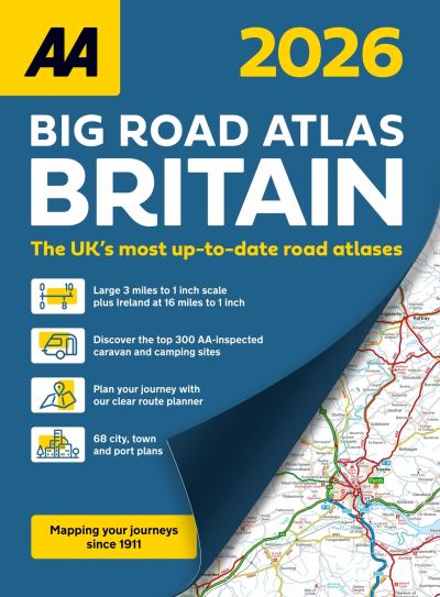
01841 533804  

Big road atlas Britain 2026

£12.99

This A3 format atlas is available in two binding styles; paperback and spiral bound. Each page has been titled with its geographical location so you can turn to the page you need more easily. Wide minor roads (more than and less than 4m wide), National Trust, English and World Heritage sites, crematorium locations and other hard-to-find places are indicated on the mapping. There are 68 city, town and port plans including central London and a list of tourist sites with satnav friendly post codes. 4 page clear route planner map. Plus scenic routes, the top 300 AA inspected caravan and camping sites, over 1,800 golf courses and over 240 service areas.

In stock

SKU: 9780749584320 Category: Tag:

Description

Large 3 miles to 1 inch scale including Ireland at 16 miles to 1 inch. This A3 format atlas is available in two binding styles; paperback and spiral bound. Each page has been titled with its geographical location so you can turn to the page you need more easily. Wide minor roads (more than and less than 4m wide), National Trust, English and World Heritage sites, crematorium locations and other hard-to-find places are indicated on the mapping. There are 68 city, town and port plans including central London and a list of tourist sites with satnav friendly post codes. 4 page clear route planner map. Plus scenic routes, the top 300 AA inspected caravan and camping sites, over 1,800 golf courses and over 240 service areas.

Additional information

Dimensions 39 × 29.7 cm
Author
Publisher

Imprint

Cover

Paperback

Pages

160

Language

English

Edition
Dewey

912.41 (edition:23)

Readership

/ Code: