
Menu
- Our Shop
- Buy Online
- Shopping Basket
×
Showing 1–25 of 81 results
Explore the whole county and area extending into Devon as far as Great Torrington, Tavistock and Plymouth. This detailed and up-to-date map contains more than 1,000 places of interest and an index ...

France Route Planning 2024 – Michelin National Map 726
...
Starting with flags that we know, this captivating history explains the origins and hidden meanings of flags, taking a chatty but always entertaining path through this universal subject. Each chapt...
This handy A5 atlas covering the whole of Scotland with an easy to read 4 mile to 1 inch scale fits in the glovebox of your car, perfect for quick referencing on the move. Including information on ...
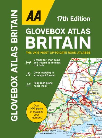
Britain’s clearest mapping in a handy glovebox size at 8 miles to 1 inch scale (Includes Ireland map at 16 miles to 1 inch). This handy atlas fits in the glovebox of your car, perfect for qui...
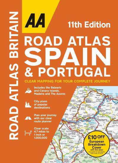
This flexi bound large scale atlas provides essential mapping for driving through Spain and Portugal, including petrol stations, service areas and toll motorways and 50 city street plans and 10 lar...
Cornish Coast
...
‘Philip’s Big Road Atlas Britain and Ireland’ contains 96 pages of road maps covering Britain at 3 miles to 1 inch (Scottish Highlands and Western Isles at 4 miles to 1 inch, Orkn...
Contains 160 pages of road maps covering Britain at 3 miles to 1 inch, with the Western Isles, Orkney and Shetland at smaller scales. The maps clearly mark service areas, roundabouts and multi-leve...
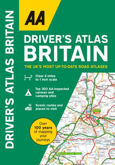
A handy, flexibound glovebox sized road atlas combining large-scale mapping (4 miles to 1 inch) in an easy-to-carry A5 format. Each page has been titled with its geographical location so that you c...
This A4 road atlas showcasing Britain’s clearest mapping, large 3.2 miles to 1 inch scale. Each page has been titled with its geographical location so you can turn to the page you need more e...
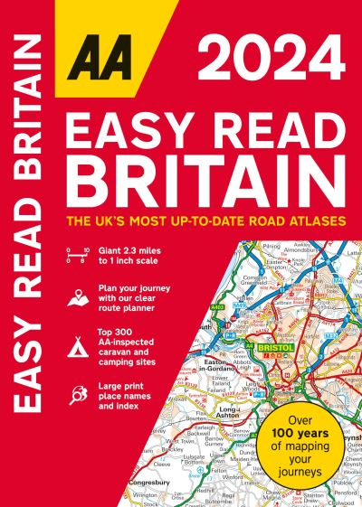
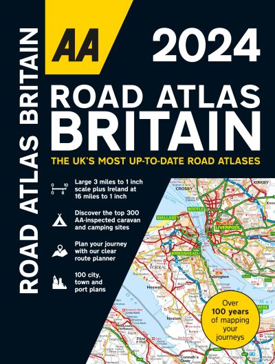
Fully updated for 2024, this giant 2.3 miles to 1 inch scale format atlas provides giant scale mapping from the experts at the AA at 2.3 miles to 1 inch. Features include 6 page clear Route Planne...
This full-colour road atlas features 30 pages of continuous road mapping. Includes Cornwall, Devon, Dorset, Plymouth Somerset and Torbay.
...
A spiral bound, full-colour road atlas, now fully revised and updated. Clear detailed road mapping at a mainland map scale of 3.5 miles to 1 inch. Published in an easy-to-read A4 size.
...
Large scale maps, large print place names, clear road colours (which are easier to read in the dark), large print index and a special route-planning section that’s almost a road atlas in itse...
AA Road Map Spain & Portugal
...AA Road Map Italy
...AA Road Map Western Europe
...AA Road Map France, Belgium & the Netherlands
...
Walking is one of Britain’s favourite leisure activities and these guides feature a variety of mapped walks to suit all abilities. Walk details include a summary of distance, time, terrain a...
Perfect guide and map for planning your adventure along the South West Coast Path.
...